Sage Roots
Rand McNally 2027 Large Scale Road Atlas
Rand McNally 2027 Large Scale Road Atlas
Couldn't load pickup availability
Navigate with confidence and explore North America from a clear, big-picture perspective.
The Rand McNally 2027 Large Scale Road Atlas is the ultimate visual guide and navigational resource for your next journey. Featuring maps that are 35% larger than standard atlases, this updated edition makes route planning effortless, readable, and highly detailed across all 50 U.S. states, Canadian provinces, and Mexico.
Whether you're plotting a cross-country road trip, discovering historic scenic detours, or keeping a reliable backup in your vehicle, this atlas gives you the geographic context and perspective that digital GPS screens simply can’t match.
Key Features:
35% Larger Maps: Clear white backgrounds and vibrant cartography designed for easy reading.
Tough Spiral Binding: Durable layout that lays completely flat for seamless navigation and route planning.
370+ City & Park Insets: Detailed maps of major metropolitan areas and national parks.
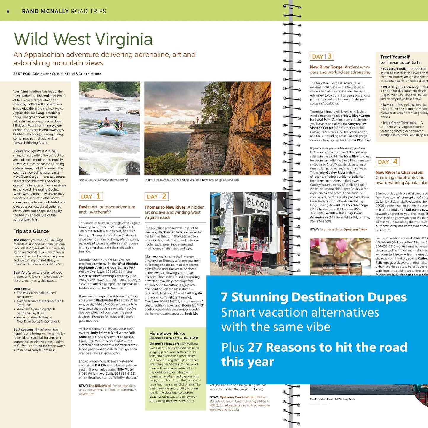
Travel & Scenic Insight: Features editor-curated detours, toll road information, driving distance charts, and state-by-state tourism guides.
Always Up-to-Date: Updated annually by expert cartographers to reflect current roads, construction, and official location names.
Expand your geographic knowledge, rediscover the open road, and keep the ultimate road companion by your side.
Share